
In 2010 Float Day will be June 26th - always the 4th Saturday in June
For more information, call 434-324-4232 or 941-2619
From the Gazette-Virginian, June 23, 2010
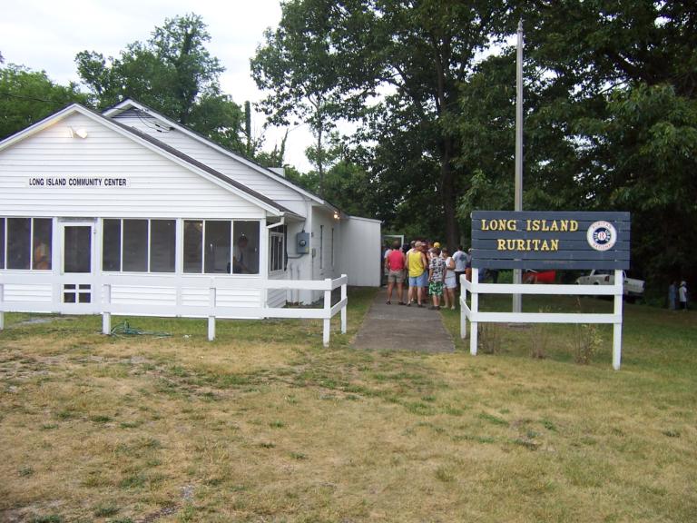
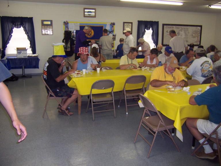
Breakfast is the first order of business at the Long Island Community Center cooked by members of Long Island Ruritan.

Get Ready! |

Get Set! |
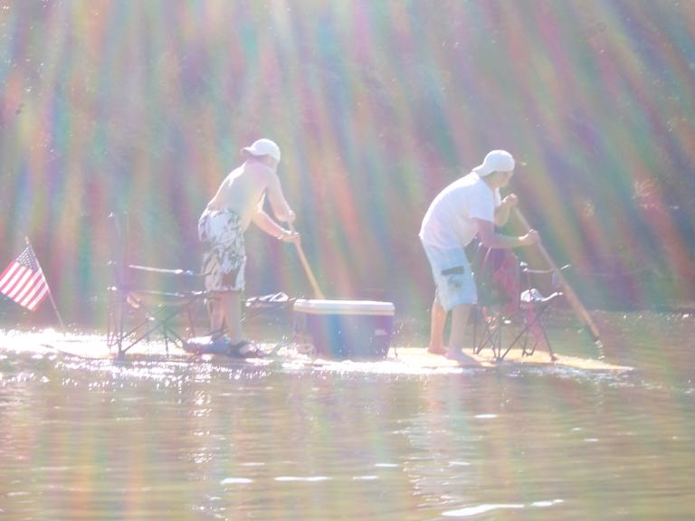 Go! |
Plan your route. Click on maps below. Get familiar with the sluices, fish traps, wing dams, fish dams, channels, and Cat Rock.
Cat Rock Sluice is a National Historic Site.
The Roanoke/Staunton River Atlas
(Preliminary Charts - Not Yet Published).
 |
 |
| Charts created and contributed by Dr. William E. Trout, III,
of the Virginia Canals & Navigations Society, January 15, 2003. The author would like for you to contact him for comments, corrections or additions, and to contact him for comments, corrections or additions. Also please advise of reports of sunken boats - a steamboat at Cole's Ferry, a batteau opposite the mouth of Falling River, or others.
When sufficient funds are available the The Staunton River Atlas will be published by the Virginia Canals & Navigations Society. The policy of the canal society has been to acknowledge significant donations in the book to help with its publication. See all the river charts here. |
|